


 CATALOG
 CONTACT
 ABOUT


C-MAP DISCOVER X-SOUTHERN EUROPE
-
Code:NAV-M-EM-T-045-D-MS
-
Weight:0.000 Kgs
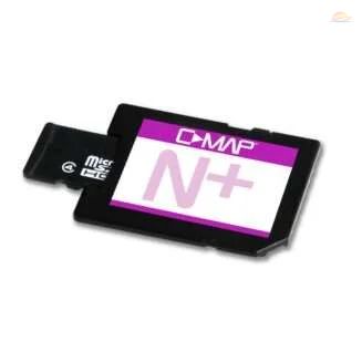
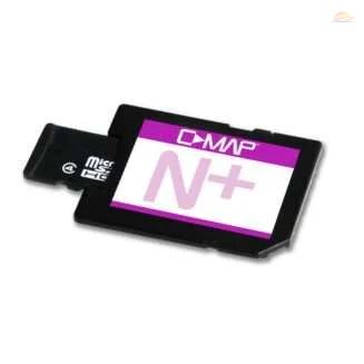
Explore Southern Europe's waters with the C-MAP Discover X Chart! This Micro SD card delivers detailed, up-to-date vector charts for easy navigation. Benefit from high-resolution bathymetry, custom depth shading, and Easy Routing™ for safe passage planning. Enjoy aerial photography, tide forecasts, and detailed marina plans, enhancing your boating experience. Compatible with B&G and Simrad sonars.
- Full-Featured Vector Charts
- High-Resolution Bathymetry
- Easy Routing™
Quick Buy

Unlock Uncharted Waters with C-MAP Discover X - Southern Europe
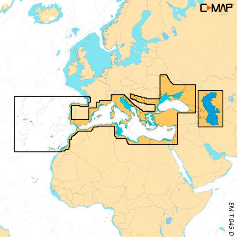
Embark on your next Southern European adventure with the C-MAP Discover X Chart. This Micro SD card provides comprehensive and detailed cartography of the Southern European waters, empowering you with the knowledge and confidence to navigate safely and efficiently. No annual subscription is needed to take advantage of the special features.
Key Features for Seamless Navigation:
Full-Featured Vector Charts: Enjoy effortless navigation with accurate, up-to-date vector chart details, providing a clear and comprehensive view of your surroundings.
High-Resolution Bathymetry: Uncover hidden underwater landscapes with Genesis® detail, allowing you to identify shallow areas, drop-offs, and holes with ease.
Custom Depth Shading: Personalize your chart display by setting a safe depth, maintaining a traditional paper-like view, or creating your own custom shading scheme for enhanced situational awareness.
Easy Routing™: Effortlessly plot the shortest and safest routes based on detailed chart data and your boat's specific information, saving you time and ensuring a smooth journey.
Extensive Aerial Photography: Access thousands of high-quality aerial photos of harbors, bays, and other key navigational features, offering an extra layer of detail and visual confirmation.
Tidal Awareness: Stay informed with real-time water level and tide direction forecasts, enabling you to plan your voyages around optimal conditions.
Detailed Marina Plans: Dock confidently in unfamiliar ports with precise marina plans, including skipper locations, restricted areas, and other valuable navigational information.
Compatibility:
The C-MAP Discover X chart is compatible with a range of leading marine electronics, including:
- B&G Zeus S model
- Simrad NSX
- Simrad NSX ULTRAWIDE
- Simrad NSS 4 models
C-MAP: Your Trusted Navigation Partner
With over 35 years of experience in the marine mapping industry, C-MAP is dedicated to providing innovative and reliable solutions for both recreational and commercial navigation. Trust C-MAP to guide you on your next voyage.
- Comprehensive Coverage: Detailed cartography of Southern European waters.
- Subscription-Free: No annual subscription required to use special features.
- Enhanced Awareness: Stay informed with Tides and Marina details.
- Seamless Compatibility: Works with B&G and Simrad devices.