


 CATALOG
 CONTACT
 ABOUT


C-MAP Discover Southern Europe Map
-
Code:NAV-M-EM-Y045-MS
-
Weight:0.000 Kgs
Navigate Southern Europe's waters with confidence using the C-MAP Discover chart. This Micro SD card provides detailed vector charts, high-resolution bathymetry with Genesis® detail, and custom depth shading. The Easy Routing™ feature helps you plot the safest route, while aerial photography and detailed marina plans enhance your navigational experience. Plus, get tide forecasts for accurate planning. Please note, it does NOT include an annual subscription for special features.
- Full-featured vector charts
- High-resolution bathymetry
- Easy Routing™
Quick Buy

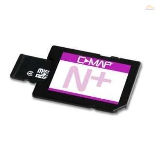
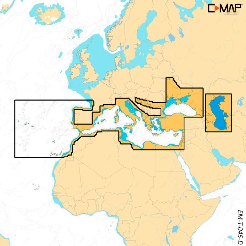
Embark on your next Southern European adventure with the C-MAP Discover Southern Europe Map. This Micro SD card, pre-loaded with detailed C-MAP data, provides comprehensive coverage of Southern European waters, ensuring a safe and enjoyable navigation experience. Best of all, this map comes without any annual subscription fees for its core features!
Key Features for Seamless Navigation:
Full-Featured Vector Charts: Navigate with confidence using accurate, up-to-date vector chart details. These charts offer a clear and precise representation of the coastline, depth contours, navigation aids, and other essential information.
High-Resolution Bathymetry: Uncover the underwater world with Genesis® detail. This feature allows you to identify shallow areas, drop-offs, and holes with incredible precision, enhancing your situational awareness and safety.
Custom Depth Shading: Tailor your view to your specific needs. Set a clear safe depth to highlight potential hazards, maintain a traditional paper-like chart view, or create your own custom shading scheme for enhanced depth perception.
Easy Routing™: Simplify your route planning with automatic route calculation. Based on detailed map data and your boat's specifications, Easy Routing™ helps you plot the shortest and safest course to your destination, saving you time and fuel.
Aerial Photography: Gain an extra level of detail with a collection of thousands of high-resolution aerial photographs of harbors, bays, and other notable navigation features. These images provide a visual reference point, helping you identify landmarks and navigate with greater confidence.
Tides: Stay informed about water level fluctuations with tide forecasts. This feature provides valuable information for planning your passage, especially in areas with significant tidal ranges.
Detailed Marina Plans: Docking in a new marina is now stress-free with detailed marina plans. These plans provide precise layouts of slips, restricted areas, and other essential navigational information, making mooring maneuvers easier and safer.
Device Compatibility: This C-MAP Discover chart is compatible with a wide range of devices from leading manufacturers, including Lowrance, B&G (excluding Zeus S), and Simrad (excluding NSX, NSX ULTRAWIDE, NSS 4) sonar.
Equip yourself with the C-MAP Discover Southern Europe Map and explore the beautiful Southern European coastline with confidence and peace of mind. Your ultimate navigation companion awaits!
- Detailed cartography of Southern Europe
- No annual subscription required
- High-resolution bathymetry
- Easy Routing for effortless planning
- Compatible with major brands