


 CATALOG
 CONTACT
 ABOUT


C-MAP REVEAL MIDDETERANIAN AND BLACK SEA
-
Code:NAV-M-EM-Y111-MS
-
Weight:0.000 Kgs
Explore the Eastern Mediterranean, Black, and Caspian Seas with the C-MAP Reveal Chart. This micro SD card delivers accurate, up-to-date vector chart detail, bringing navigation to life with 3D rendered land and underwater elevation. Note: This chart does NOT include an annual subscription for special features.
- High-Resolution Bathymetry: Identify shallow areas and drop-offs easily.
- Easy Routing™: Automatically plot the safest routes.
- Aerial Photography: Thousands of photos of harbors and bays.
Quick Buy

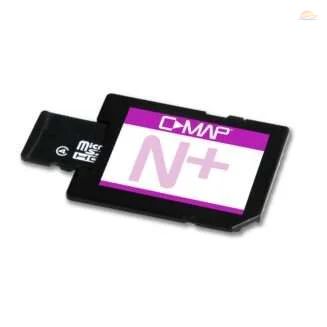
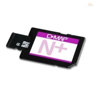
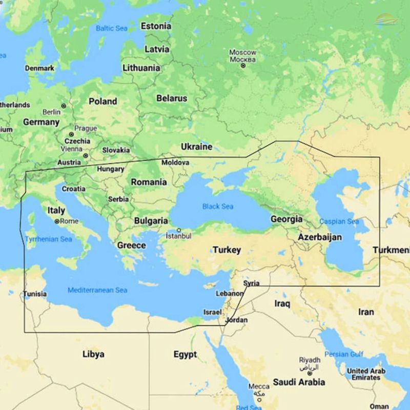
Navigate with confidence and explore the Eastern Mediterranean, Black, Caspian, and Tyrrhenian Seas using the C-MAP Reveal Chart. This micro SD chart provides unparalleled detail and accuracy, transforming your boating experience.
Extensive Coverage
This C-MAP branded chart covers a vast area, including:
- Eastern Mediterranean Sea
- Black Sea
- Caspian Sea
- Tyrrhenian Sea
Offering comprehensive coverage for all your nautical adventures. This version of the chart does NOT require an annual subscription for its standard features.
Key Features and Benefits
Discover the advanced technology and user-friendly features that set the C-MAP Reveal Chart apart:
Shaded Relief
Experience the marine environment like never before. Shaded Relief brings the world to life with 3D rendered land and underwater elevation, showcasing bathymetric seabed areas with stunning clarity. Visualize underwater structures and terrain for enhanced situational awareness.
Full-Featured Vector Charts
Navigate with ease using incredibly accurate and up-to-date vector chart detail. These charts provide clear and concise information, making navigation simpler and safer.
High-Resolution Bathymetry
Identify shallow areas, drop-offs, and holes with unparalleled precision using high-resolution bathymetry featuring Genesis® detail. This feature is crucial for safe navigation and fishing success.
Custom Depth Shading
Personalize your view with custom depth shading. Set a clear safe depth, maintain a traditional paper-like view, or create your own custom shading to highlight important underwater features.
Dynamic Raster Charts
Enjoy the best of both worlds with dynamic raster charts. Get the familiar look and feel of a traditional chart combined with easy access to all chart objects.
Easy Routing™
Effortlessly plot the shortest and safest routes with Easy Routing™. This intelligent feature automatically generates routes based on detailed map data and your boat's specifications, saving you time and ensuring a secure journey.
Aerial Photography
Enhance your navigation with a collection of thousands of aerial photographs of harbors, bays, and other notable navigation features. This extra level of detail provides a visual reference for confident navigation.
Satellite Overlay
Stay informed about your surroundings with satellite overlay. This feature provides valuable information when you're in an unfamiliar location, helping you navigate with confidence.
Tides
Plan your trips with accurate water level and tide forecasts. The Tides feature keeps you informed about changing water conditions, ensuring safer navigation.
Detailed Marina Plans
Mooring in a new harbor is a breeze with detailed marina plans. These plans include slips, restricted areas, and other valuable navigational information, making docking stress-free.
Compatibility
The C-MAP Reveal Chart is compatible with a wide range of devices, including:
- Lowrance
- B&G (excluding Zeus S)
- Simrad (excluding NSX, NSX ULTRAWIDE, NSS 4)
In summary, this C-MAP Reveal Chart offers:
- Extensive coverage of the Eastern Mediterranean, Black, Caspian, and Tyrrhenian Seas.
- Detailed and accurate charts for confident navigation.
- Advanced features like Shaded Relief and Easy Routing™ for an enhanced boating experience.
- Compatibility with popular navigation systems.
Equip your boat with the C-MAP Reveal Chart and explore the seas with confidence and precision.